Climate
SHOCK: Hurricane Ian leaves Tampa Bay waterways dry
Experts warn that the tidal recession is a temporary phenomenon and that the water will return, probably to much higher levels than the initial ones
September 28, 2022 3:44pm
Updated: September 28, 2022 4:22pm
Several videos and images posted on social networks on Wednesday show waterways of Tampa Bay completely dry before the arrival of Hurricane Ian to the state of Florida.
The cyclone's movements have caused a suction effect on the bay and exposed the seabed.
The hurricane's forceful winds pushed the water away from the coast and sent it out into the gulf, a phenomenon similar to that recorded just prior to the arrival of Hurricane Irma in 2017, the Huffington Post recalled.
Experts warn that the receding tide, known as a negative storm surge, is a temporary phenomenon and the water will return, likely to much higher levels than initial levels as the cyclone approaches land.
La bahía de #Tampa está vacía por la rotación del #HuracanIan que jala el agua hacia el Golfo de México @CNNEE pic.twitter.com/eLARhpoKAZ
— Gustavo Valdés (@gustavocnn) September 28, 2022
A possibility we talked about earlier this week is now a reality. #HurricaneIan has sucked the water out of Tampa Bay. This is similar to what happened during Irma 5 years ago.pic.twitter.com/79AE91CtfL
— Cynthia McLaughlin (@CynthiaSNN) September 28, 2022
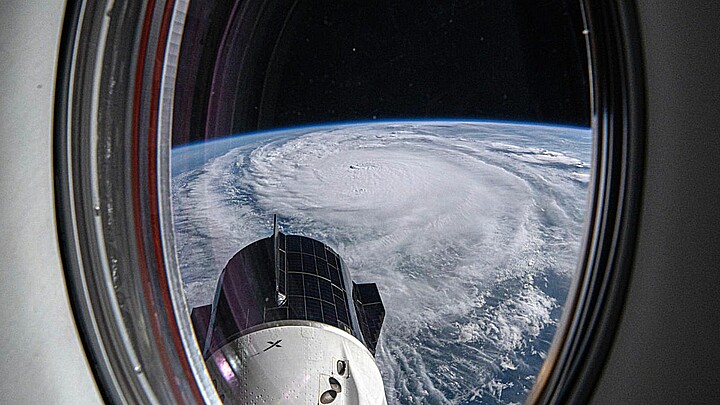
Hurricane Ian strengthened with winds of 155 miles per hour (250 kilometers/hour), corresponding to category 4 (out of 5), is approaching the west coast of Florida at a speed of 9 miles (15 kilometers), which will slow down before making landfall.
"Do not go out. It's very dangerous to be out. Even if you see the water receding, it's not the time to go out and pick up shells or whatever. We've seen it, and these kinds of storms, when the winds drop, when the winds drop, that water comes back in and it can be incredibly dangerous," National Weather Service (NWS) Director Ken Graham warned at a news conference Wednesday.
The lower Tampa Bay area is expected to experience a 1.5 to 1.8 meter storm surge, with extreme beach erosion and water that could extend several miles inland, according to the NWS.
9/28 11am EDT: Eyewall of #Ian moving onshore! Catastrophic storm surge along with destructive waves are expected along the southwest Florida coast from Englewood to Bonita Beach, including Charlotte Harbor. Residents should urgently follow evacuation orders in effect. pic.twitter.com/a82s6OGus6
— NHC Storm Surge (@NHC_Surge) September 28, 2022
Winds from "Ian" began to hit the southwest coast of Florida, while much of the state is experiencing heavy rains.
"It could potentially make landfall as a Category 5. Clearly, this is a big hurricane..... It's huge, and it's strengthened even more overnight. It's going to have a dramatic impact on South Florida," Florida Governor Ron DeSantis said Tuesday.
Tampa has not taken a direct hit from a hurricane of this intensity since 1921.
All of Florida is on alert for storm surge, high winds and flooding following the advance of Hurricane Ian.
Florida Power and Light warned that those in the hurricane's path could be without power for days. As a precaution, hundreds of residents in senior centers have been evacuated in Tampa, and local hospitals are moving some patients.
In a special bulletin issued at 07.00 hours (11.00 GMT), the U.S. National Hurricane Center (NHC) warned that the hurricane is about 65 miles (100 km) south-southwest of Punta Gorda, in southwest Florida.